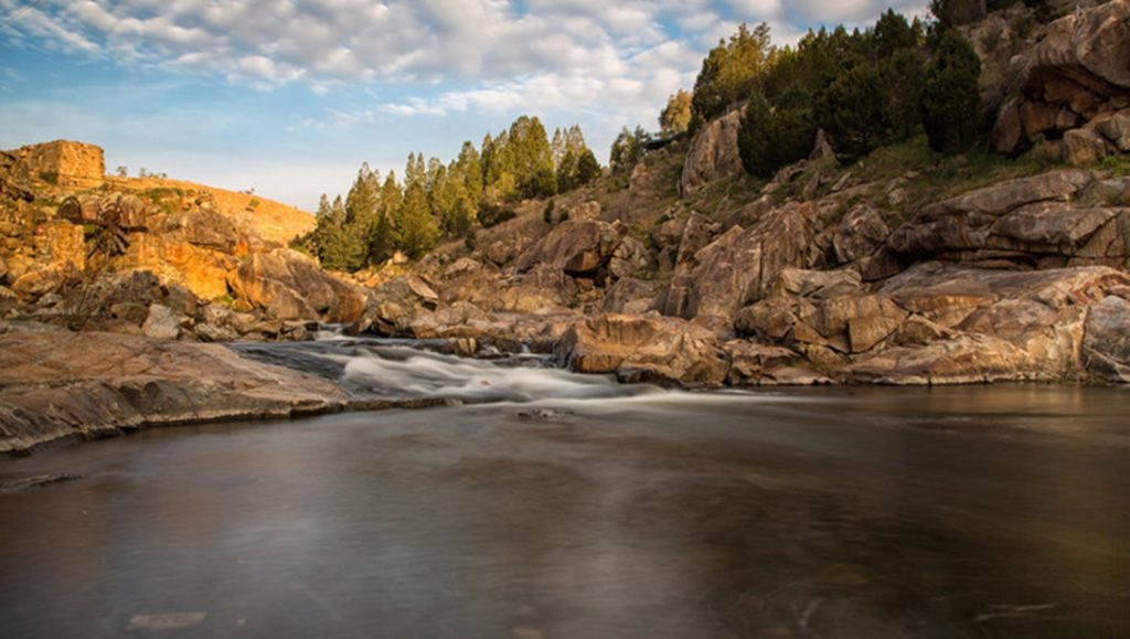
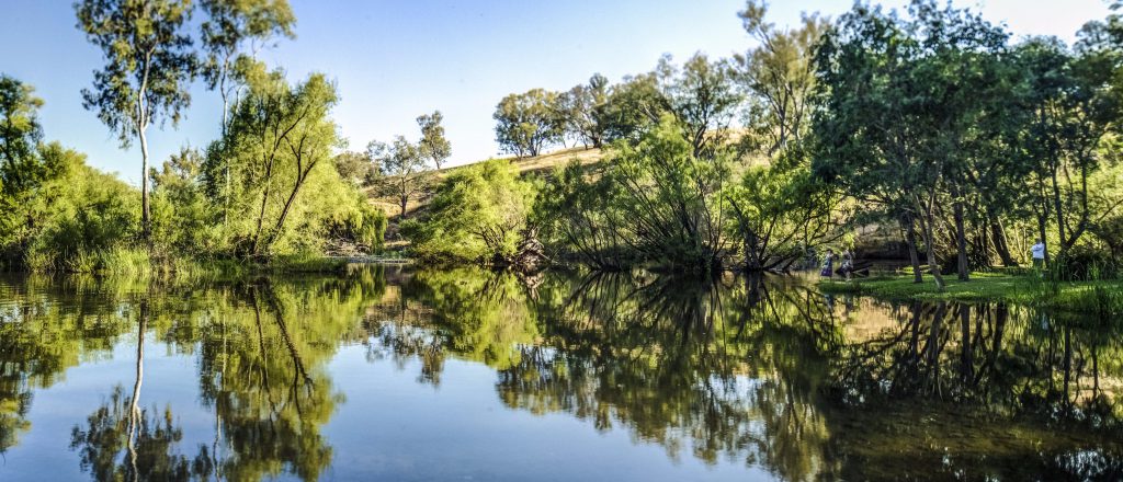
Journey forward and over (and over and over), through limestone belts folded, past leaves newly golden… to discover pristine, diverse landscapes. Waiting for you, where they’ve always been, here in the Snowy Valleys.
Highlights

Secondary Information Heading
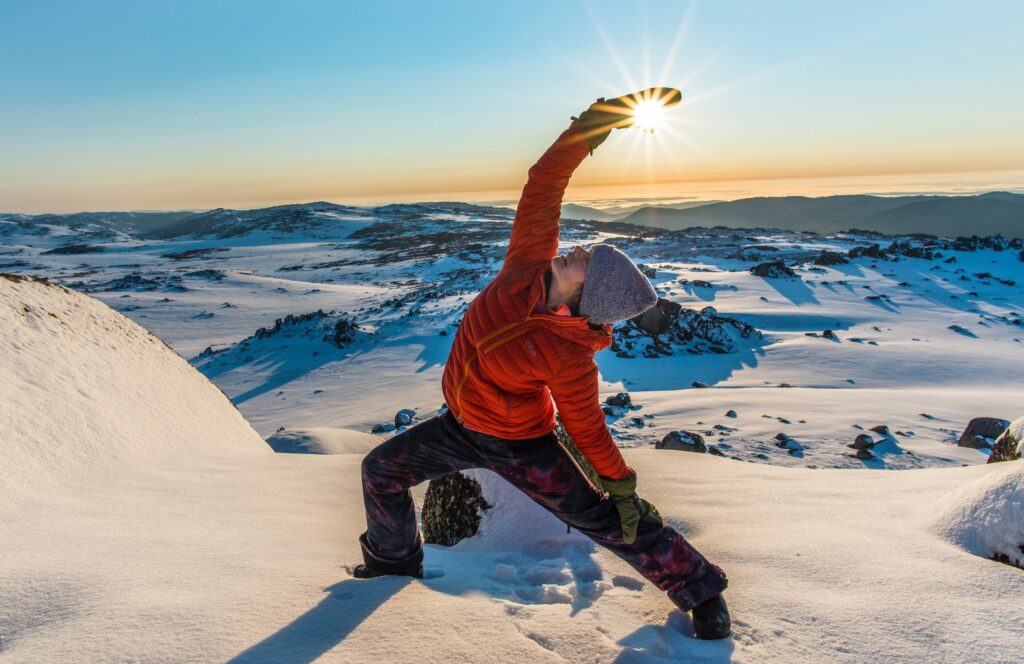
Up winding climbs, down sharp descents. The joy of cycling quiet roads and mountain trails. Living in the moment between the dropped line and the bite. When the water is still and the wind is quiet. Wandering – climbing mountains, and exploring valleys. Finding the freedom between moments. Crisp mountain apples. Cool climate wines. Farm to table dinners. The Snowy Valleys – Find out what’s in season.
Summer sees visitors of all ages head to Tumbarumba, to join the weekend-long festival that is Tumbafest. The quiet park, just behind the main street, fills with smiling people. Sprawled under shady trees are market stalls featuring fresh local produce, wines, ciders and craft beers. Some kick back in the shade to enjoy the bands and musicians, others are dancing until their feet hurt.
In autumn, each town celebrates its local show, with entrants competing in everything from floral arranging and photography to equestrian events and the stockman’s challenge, to baking, jam-making and vegetable growing. It’s a celebration of the best each town has to offer. Tumut hosts the family-friendly music festival Rock the Turf, the Falling Leaf Festival, and Tumut MTB’s 3 Hour Enduro. Adelong plays host to the Snowy Valleys Cycle Challenge, which sees cyclists ride 144km from Adelong via Batlow to Tumbarumba and back, and Batlow celebrates Batlow CiderFest, our region’s biggest tourism event.